A Hundred Oasts & Two Castles
A Sunday stroll through Kentish pastures• 6 min read
arrow_drop_down_circle

Being from the countryside, living in a busy London suburb can sometimes leave you feeling a bit overwhelmed and daunted by it all. The concrete void day-in-day-out can start to consume you after a while, and what parks and greenery you do have, closes once the sun starts to set - well they do in Lewisham and the surrounding area at least.
Most of the time I find it’s easy to get caught up in the city life rush, but every now and then, finding my roots in nature has helped me to push aside some day-to-day worries and hits that well-needed reset button.
Every now and then I try and make the effort to go a little further out of the city and explore some of the local surrounding countryside and areas of natural beauty. Getting back in touch with nature is something I want to start doing more of in the new year.
This midsummer, I had the delight of exploring Chiddingstone and the surrounding area in the Kentish countryside. It also just so happened to be the hottest day of the year so far, with highs of up to 34°C! 🥵 (Whilst I do love warmer days and sunny skies, when you’re surrounded by 10ft high corn crop for as far as the eye can see, high humidity combined with blistering temperatures is no joke.)
The hike we set out to complete was a circular route passing through Chiddingstone, Charcott, Penshurst and Leigh. Previously, Beth had attempted the same walk, but found herself somewhat absolutely fuming when the printed map she had wanted to take her directly through a hedgerow and across a rail line, right at the beginning of the route… I think we learned that day never to trust the internet and plan, plan and plan some more.
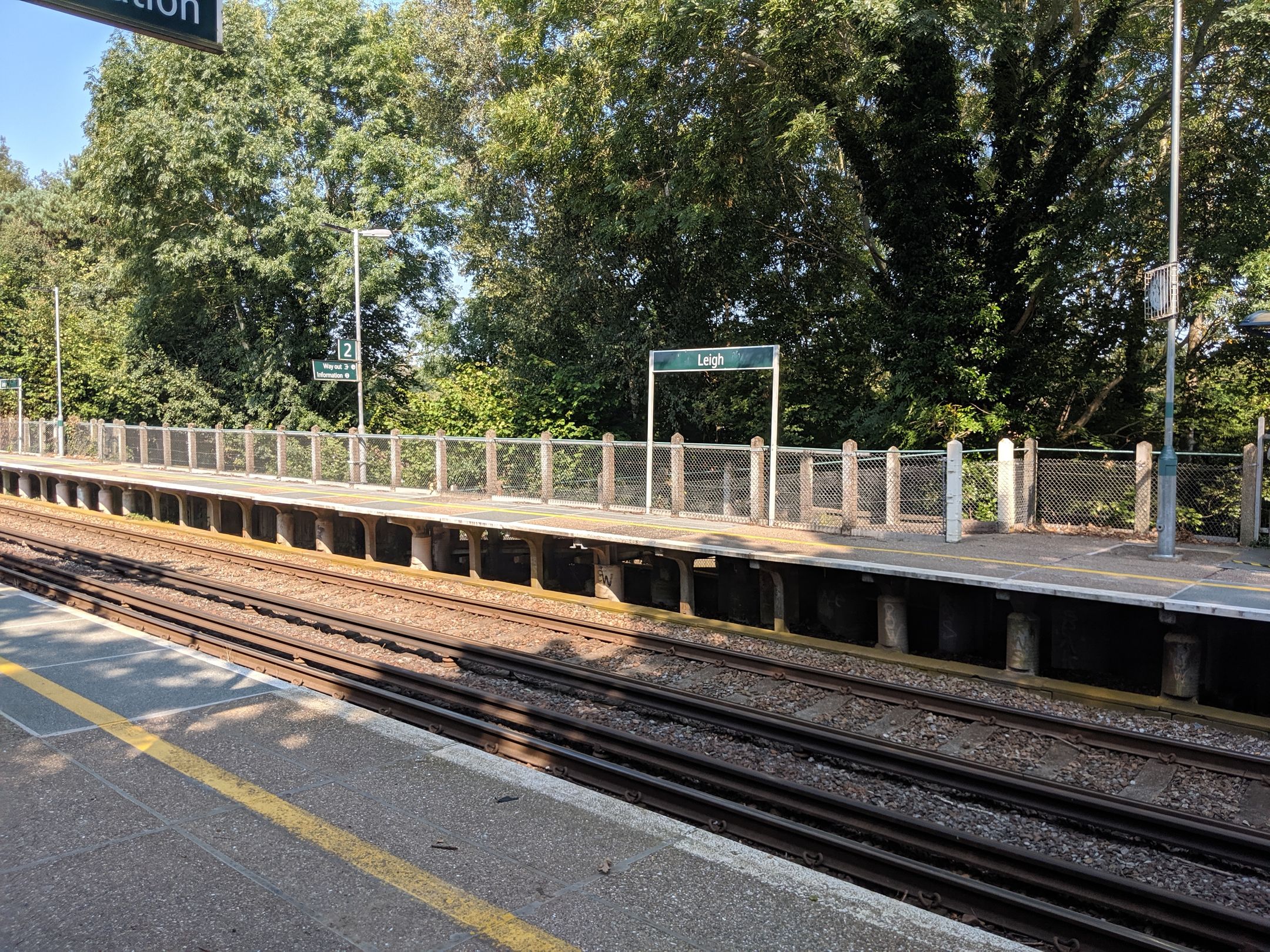
With the worry of finding our way to the start looming in the back of our minds, we set out from the station towards the start of the trail.
This time, however, rather proactively, we made sure to trace the route to the trailhead before we even took a step out of the door. I can only imagine the fury that would have been unleashed if we’d of failed to make it to the start point this time around. 😅
After making our way through Leigh and through the local church-ground, we finally made it to the start of the trail.
Being our first hike together we had a solid game plan. I go first and make sure there’s no cobwebs or other creepy crawlies. Great. Luckily for me, there weren’t too many despite the temperature and humidity. Although, I do think insect repellent is going to definitely be in my backpack next time I set out!
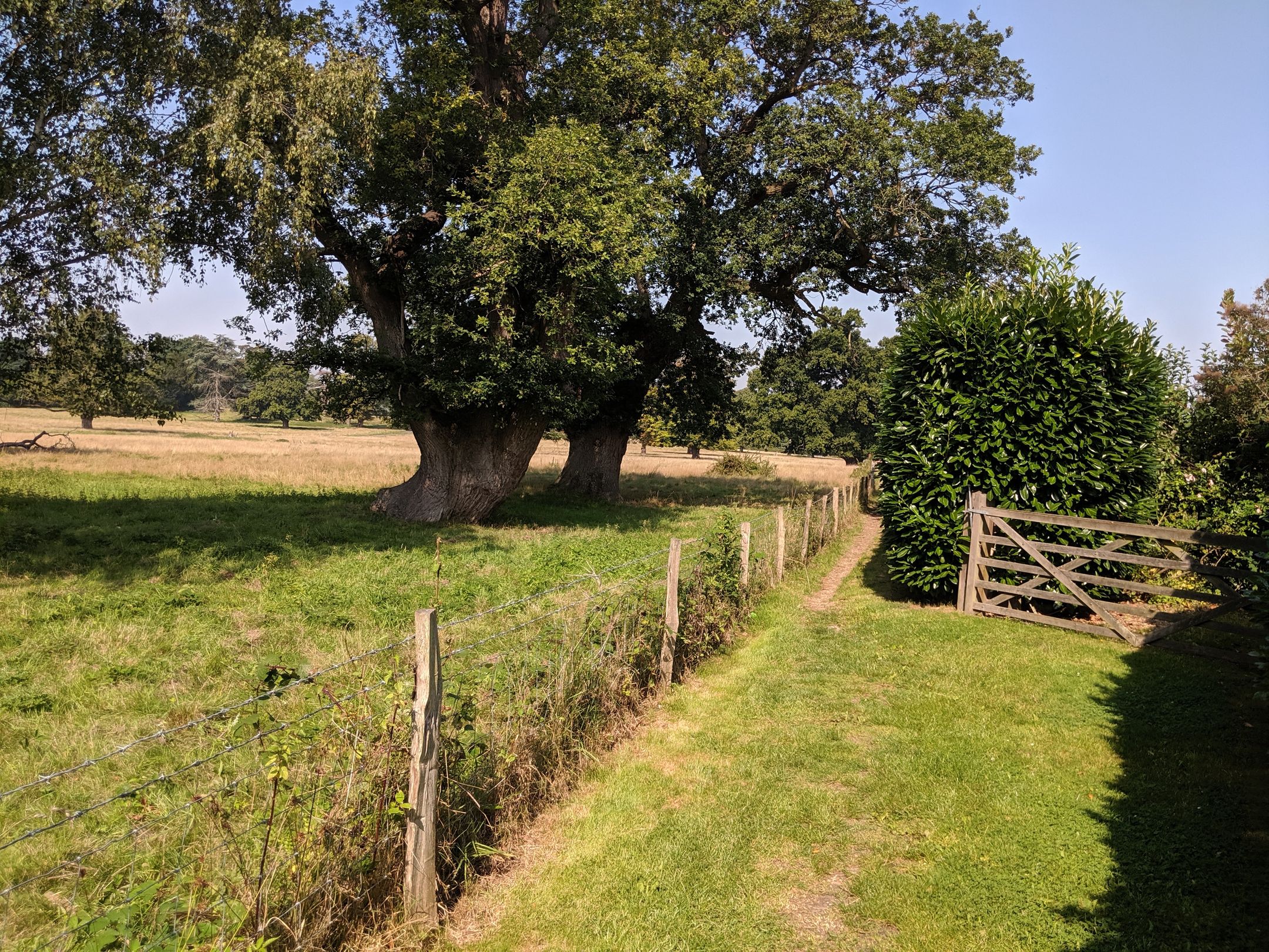
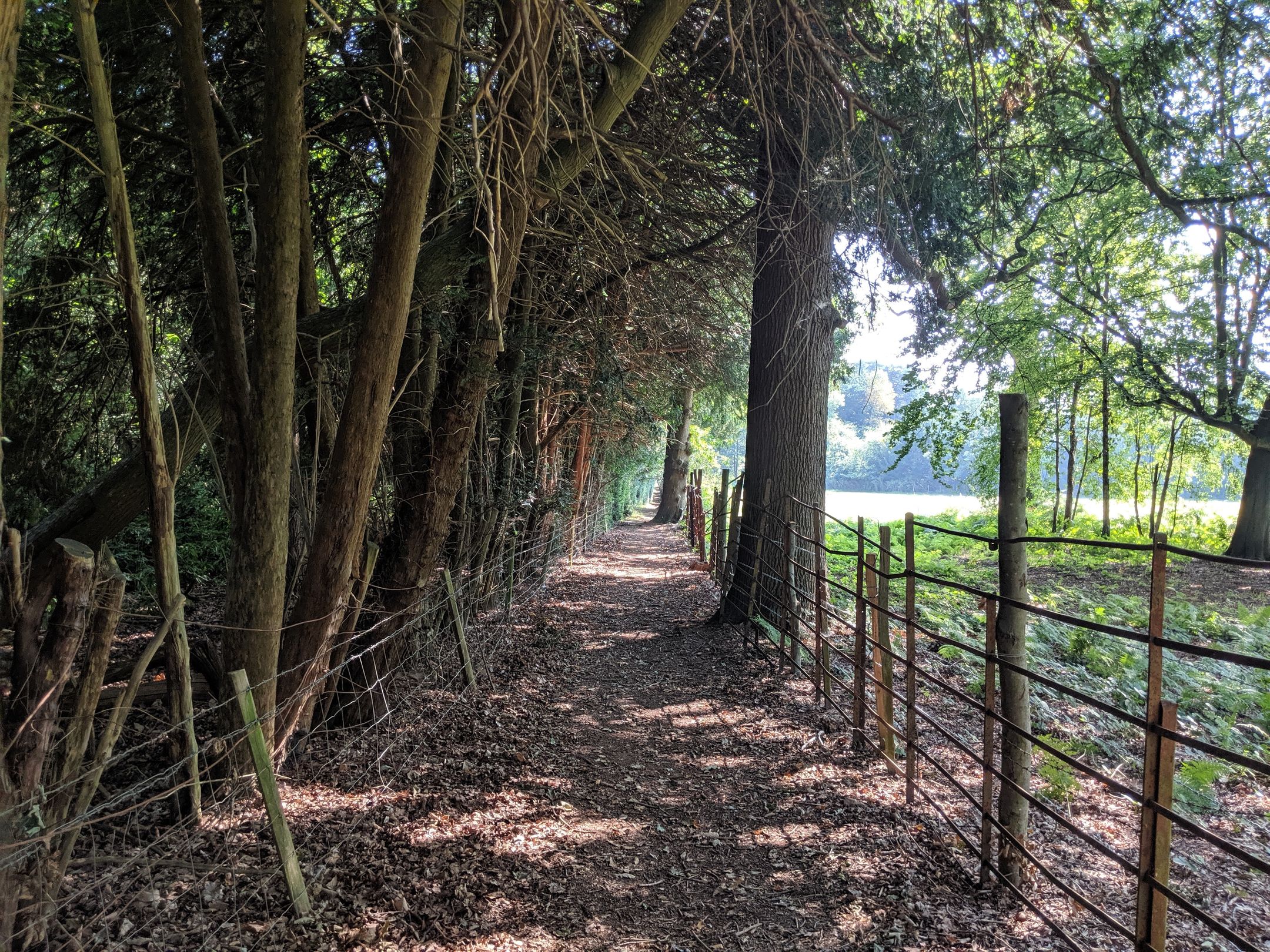
The path started out weaving in and out of backcountry walkways, with plenty of overhead coverage to keep you protected from the blazing sun above - honestly, I was so thankful for these shaded breaks, it really was overwhelming that day. I definitely wouldn’t have wanted to be out in it longer than I was.
Also, If you want to hike this route yourself, I’ve attached a map of the complete trail at the bottom of this post (GPX data was taken from the day that the route was hiked). I’ve also included a link to the official route and inspiration, taken from http://fancyfreewalks.org.

So having read this far, you might be wondering, what the hell is an oast and how does it relate to this post? (Even the tool I use to plan and write these posts in is trying to autocorrect this to east)
Well an oast or oast house, is a building used to dry fresh hops before they are sent to the brewers, to be used for flavouring beer. Beer was not produced within the oast house itself, but some malthouses (breweries) did incorporate drying kilns for drying barley for malt. Most of these oasts kilns (at least 65%) are round.*
Whilst the title for this post is taken from the name of the walk (aptly taken from the route guide linked below), ironically, I didn’t grab any pictures of any of the oast houses, or the castles that we passed! Maybe next time… 🤦♂️
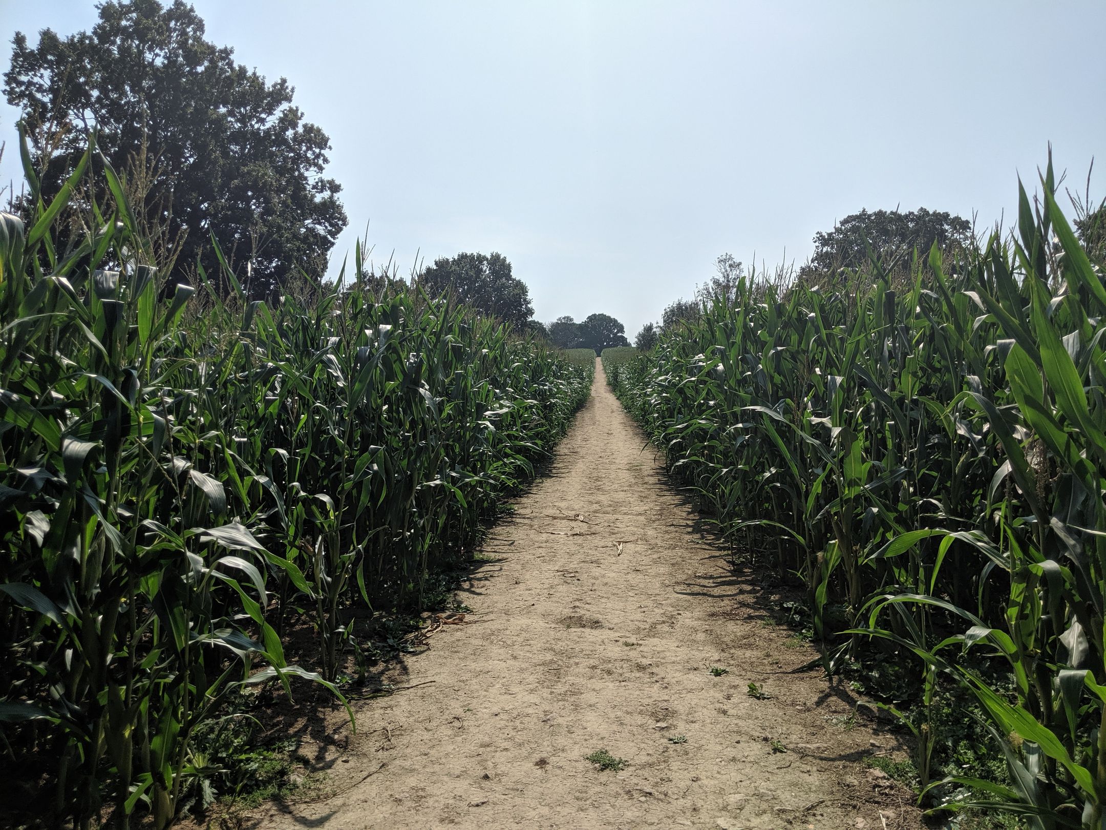
After navigating our way through the shaded woodland paths, we found ourselves head-deep in corn for as far as the eye could see. I’m not joking when I say there were a few times when I was worried I may never see Beth again, and that she’d entered the labyrinth of corn, never to return. Luckily for us though, we managed to pick up the trail again, and even found an opening through the fields!
It did feel a little barren at times with the sun blazing away overhead. I think sometimes British summers are rather underestimated. We all know too well those miserable rainy summer days, but sometimes we strike it lucky! (Although, I’d say I’m more of a winter person than summer. I do love myself a bit of snow)
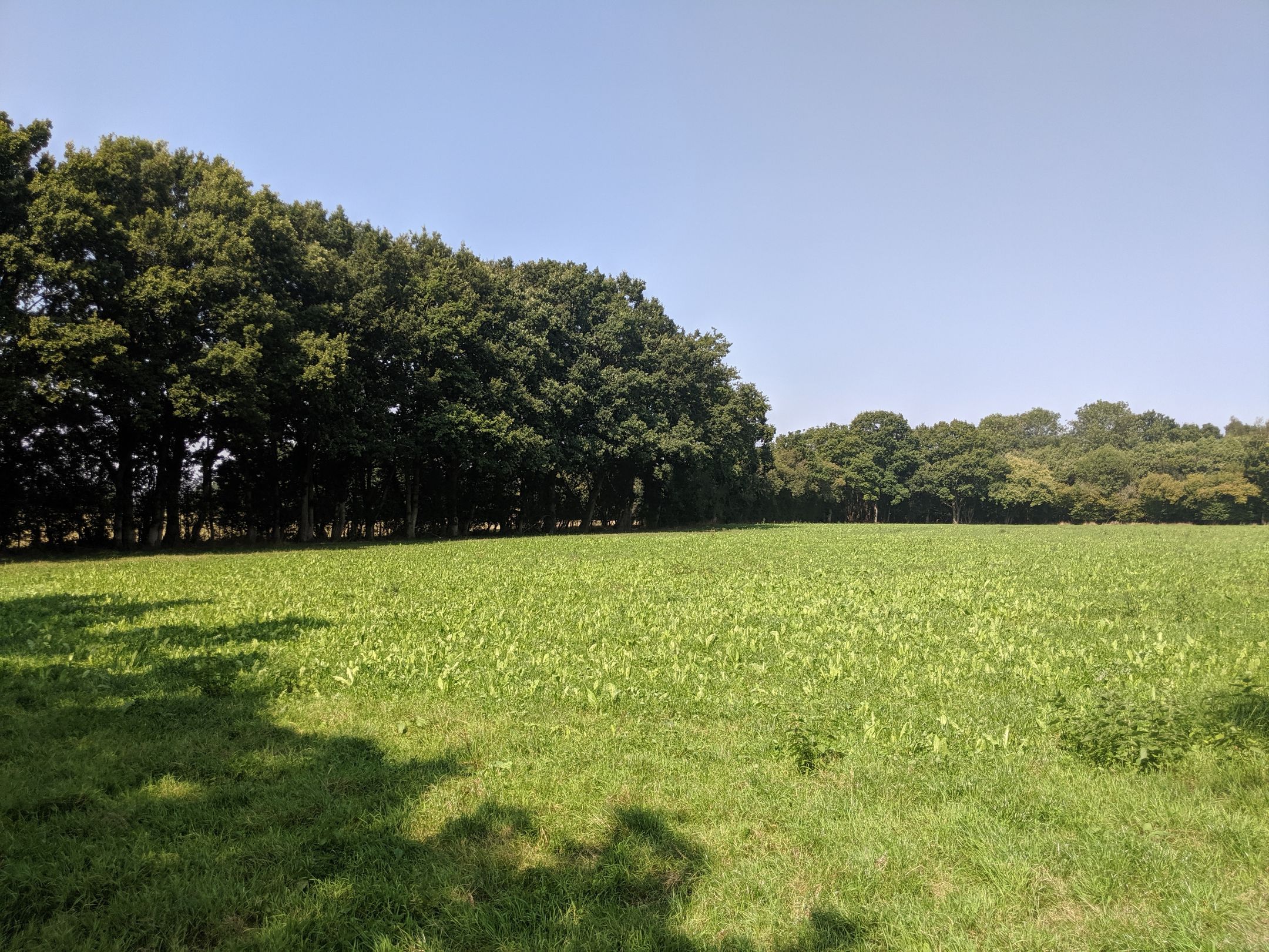
In all seriousness, this place truly was beautiful. Every now and then the crop fields would open up and all of a sudden, you’re standing in what could be Eden. Lush greenery all around and not a hint of civilisation nearby. It really did feel like you could just shut off from everything out here.
These hidden pastures really were a highlight of the route for me.
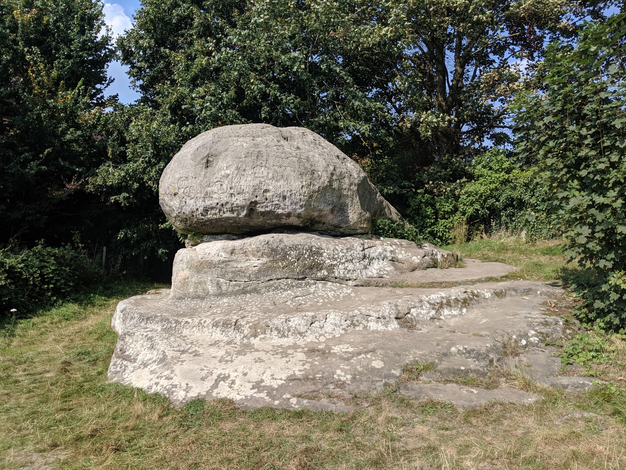
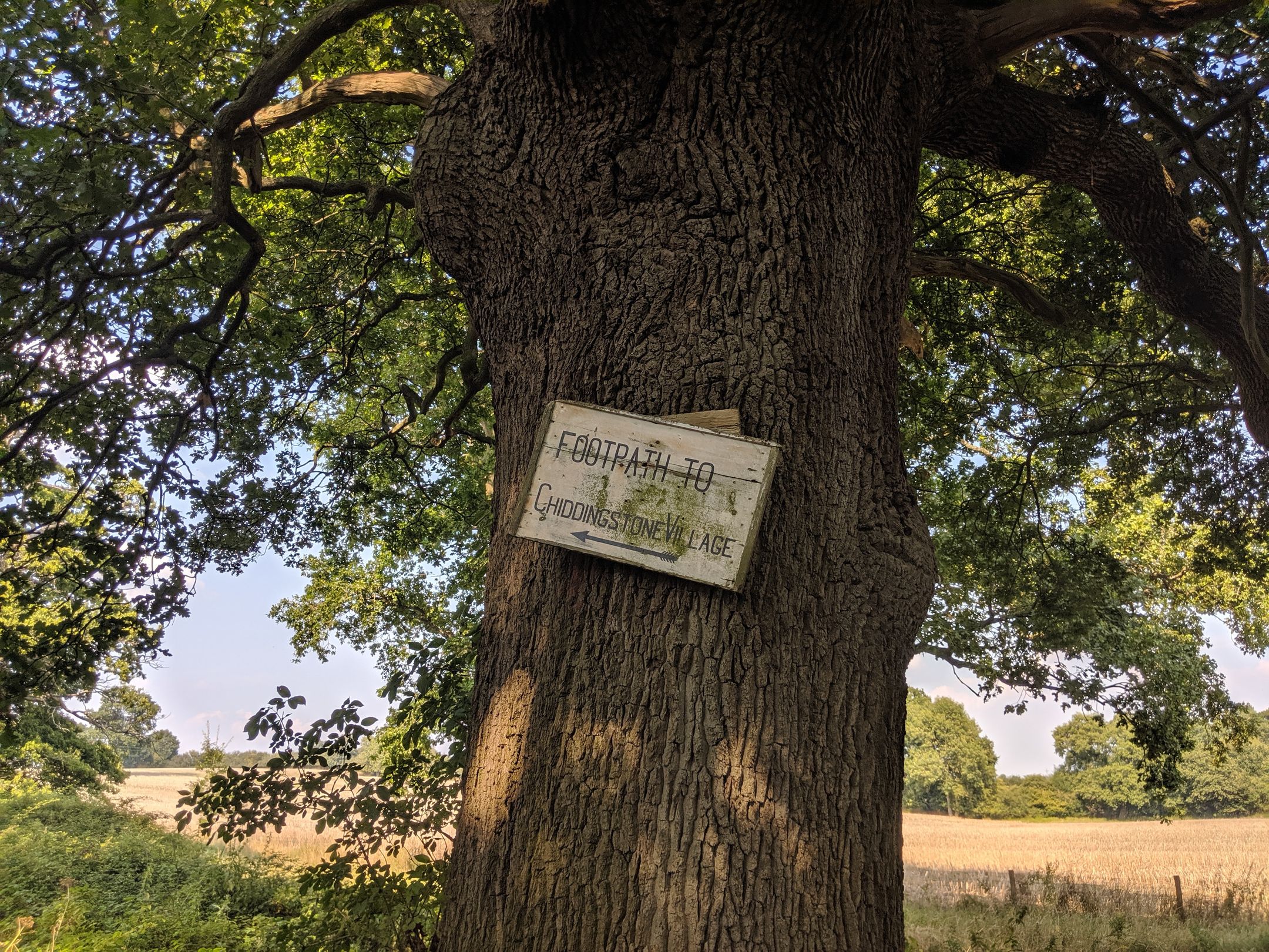
Eventually, we reached the small village of Chiddingstone; thought to be named after the rock formation that is located just outside the heart of the village. It’s said that the Chiding Stone used to be a seat of judgement or rather a Saxon boundary marker, rather than it’s common misdescription as being a druidic ritual site.
The village; owned by the National Trust, is a quaint Tudor country village that really transports you back in time. The buildings here were wonderfully kept and the local pub granted a perfect opportunity to take a well-earned breather.
With Chiddingstone now behind us, all that remained was to get back to the station. I’m not sure if it’s just me but I always find the last part of the journey always seems to go by the fastest. I’m not sure why, maybe it’s just the completionist in me getting a little excited that we’re nearing the finish.
If you’re ever in the local vicinity though, I highly suggest making the trip out here. The trail is mostly flat and I would say it doesn’t require high levels of fitness. In total, the hike took us just under 6 hours (this includes a few breaks along the trail and also a few stop-offs in pubs along the route).
Rekindling with the outdoors is something that I’m going to try to do more of in the new year.